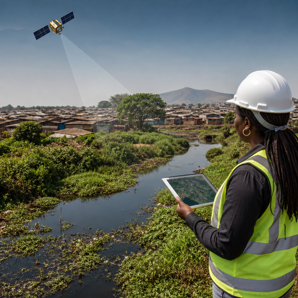
Remote sensing is reshaping sanitation management by turning scattered field observations into continuous, spatially precise intelligence for planning, operating, and improving EcoSan systems. In sanitation, remote sensing means collecting information about land, water, infrastructure, vegetation, heat, moisture, and human settlement patterns without touching every site directly, usually through satellites, drones, aircraft, fixed sensors, and geospatial analytics. EcoSan, or ecological sanitation, is the approach of designing sanitation systems that safely recover water, nutrients, and energy instead of treating waste only as a disposal problem. I have seen sanitation projects stall because teams lacked reliable maps of flood zones, settlement growth, groundwater risk, and fecal sludge movement; remote sensing closes those gaps faster than conventional surveys alone. That matters because poorly located toilets, pits, transfer stations, wetlands, and reuse sites create public health risks, higher costs, and community distrust. It also matters because urban expansion, climate variability, and informal development outpace many sanitation databases. As a hub for exploring cutting-edge EcoSan technologies, this article explains how remote sensing supports system design, monitoring, risk reduction, resource recovery, and long-term research across the sanitation chain.
The strongest sanitation programs now combine remote sensing with field sampling, utility records, GIS, and public health data. This integrated approach is especially valuable for EcoSan because ecological systems are site sensitive. Urine diversion, composting toilets, blackwater treatment, constructed wetlands, biodigesters, fecal sludge drying beds, and nutrient reuse schemes all depend on terrain, soil texture, water tables, drainage, climate, and land access. A composting unit that performs well in one village may fail in a flood-prone peri-urban settlement. A reuse plan for biosolids may be safe in one watershed and unacceptable in another because of pathogen transport or crop choice. Remote sensing does not replace engineering judgment, but it gives sanitation planners a defensible evidence base for decisions that previously relied on partial surveys or assumptions. It helps answer direct questions decision makers ask: Where should we build? Which communities face the greatest contamination risk? How can we monitor treatment performance across wide areas? Where can recovered nutrients be reused safely? Those are practical questions, and precise spatial data now makes practical answers possible.
Why remote sensing matters across the EcoSan sanitation chain
EcoSan technologies work best when planners look beyond the toilet and analyze the full sanitation chain: containment, collection, conveyance, treatment, reuse, and environmental protection. Remote sensing contributes at every stage. During containment planning, high-resolution imagery can identify settlement density, roof coverage, road access, and parcel patterns that influence whether container-based sanitation, urine diversion dry toilets, septic upgrades, or shared systems are feasible. During collection and transport planning, road networks, seasonal accessibility, and slope analysis help optimize fecal sludge routes and transfer station placement. During treatment design, thermal patterns, evapotranspiration indicators, and land suitability models support choices for drying beds, wetlands, lagoons, and anaerobic digesters. During reuse planning, crop maps and moisture data help locate appropriate agricultural zones for treated effluent or nutrient products.
In practice, sanitation teams use multiple data layers rather than a single image. Optical satellite imagery from Sentinel-2 or Landsat is useful for land cover and vegetation. Synthetic aperture radar from Sentinel-1 can detect flooding and surface moisture through clouds, which matters in monsoon climates. Digital elevation models support drainage and watershed analysis. Drone photogrammetry provides site-scale detail for treatment plants or informal settlements where commercial basemaps are outdated. When these layers are combined in GIS with household surveys, desludging records, and groundwater testing, planners can rank risks and compare options objectively. This is one reason remote sensing has become central to technological innovations and research in sanitation: it connects ecological design principles with operational decision-making.
Site selection for EcoSan infrastructure
Choosing the wrong site is one of the most expensive sanitation mistakes, and remote sensing significantly reduces that risk. For EcoSan systems, site selection must account for hydrology, topography, soil behavior, population distribution, and future urban growth. A constructed wetland needs enough land, compatible hydraulic gradients, and a buffer from homes. A fecal sludge drying bed needs access for vacuum trucks, low flood risk, and manageable odor exposure. A urine processing facility or composting center needs safe setbacks, logistics access, and nearby reuse markets. Remote sensing helps identify these conditions quickly.
For example, elevation models can reveal microtopography that affects runoff and ponding. In flat delta cities, even half-meter differences in elevation can determine whether pits flood and release contaminants. Multispectral imagery can distinguish impervious surfaces from bare soil, which helps estimate runoff and infiltration patterns. Time-series imagery shows where settlements are expanding, allowing utilities to reserve land before encroachment makes projects politically impossible. In my work on sanitation planning, the biggest value often comes from eliminating unsuitable sites early. That saves engineering time and avoids the common pattern of selecting land based solely on availability rather than environmental suitability.
| EcoSan planning task | Remote sensing input | Decision supported |
|---|---|---|
| Toilet and containment siting | Elevation, flood extent, settlement density | Avoid high water table and recurrent inundation areas |
| Fecal sludge transfer station placement | Road access, travel time surfaces, land use | Reduce haul distance and service delays |
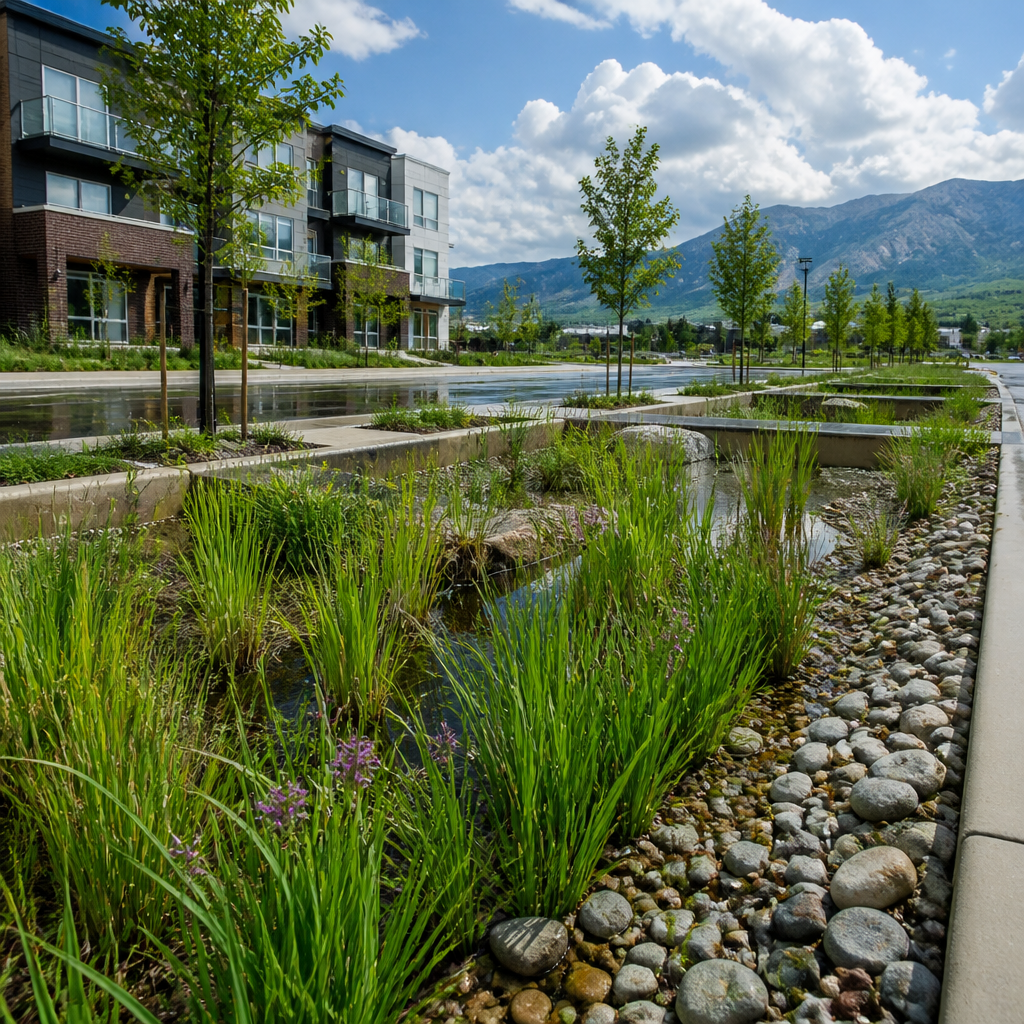
| Constructed wetland design | Slope, drainage, vegetation, parcel boundaries | Select land with suitable hydraulic conditions |
| Nutrient reuse zoning | Crop maps, moisture indices, watershed buffers | Match treated outputs to safe agricultural use |
Monitoring wastewater, fecal sludge, and environmental risk
Remote sensing is especially valuable after infrastructure is built, because sanitation failures often emerge gradually and outside facility boundaries. Wastewater overflows, sludge dumping, pit flooding, and wetland clogging leave spatial signatures that can be detected through repeated observation. Thermal data can help identify abnormal discharges into drains or surface waters. Radar and optical imagery can show standing water persistence around densely populated areas, a proxy for poor drainage and contamination exposure. Vegetation stress near discharge points may indicate salinity, nutrient overload, or chronic saturation. These indicators do not replace laboratory analysis, but they are powerful screening tools for targeting inspections.
Consider fecal sludge management in rapidly growing secondary cities. Utilities may know where treatment plants are located but not where sludge is actually emptied illegally. By overlaying desludging trip records with satellite imagery, analysts can spot isolated ponds, disturbed land patches, or discharge-prone corridors. Drones then verify conditions on the ground. This blended method is more efficient than random inspections and creates an auditable compliance process. For decentralized EcoSan systems, monitoring can focus on whether soakage fields remain functional, whether wetlands maintain vegetation cover, and whether drying beds show expected moisture reduction over time. Remote sensing supports performance management at scale, which is essential when sanitation networks include hundreds or thousands of distributed assets.
Supporting climate resilience and disaster preparedness
Climate resilience is now a core sanitation requirement, not a secondary design feature. Floods mobilize pathogens, cyclones damage containment systems, drought changes water use patterns, and heat affects biological treatment performance. Remote sensing allows sanitation managers to prepare for these stresses using historic and near-real-time data. Flood frequency maps derived from radar imagery identify neighborhoods where pit latrines, septic tanks, or urine-diverting systems need raised platforms, sealed vaults, or alternative service models. Drought indicators help utilities anticipate lower flushing volumes, higher solids concentration, and different treatment loading patterns. Land surface temperature data can inform drying bed operation and compost maturation schedules.
In humanitarian and post-disaster contexts, remote sensing is often the fastest way to estimate sanitation vulnerability before field teams arrive. Settlement mapping can identify displaced populations, damaged roads, and likely ponding zones. For EcoSan solutions deployed in emergencies, such as modular container systems or rapidly assembled urine diversion units, this information helps planners select safer locations and prioritize service routes. Long term, resilience planning benefits from scenario analysis. If sea level rise expands tidal flooding or if urban heat intensifies evaporation, sanitation technologies must adapt. Remote sensing provides the longitudinal datasets needed to test those assumptions instead of relying on static design values from older master plans.
Advancing nutrient recovery, water reuse, and circular sanitation
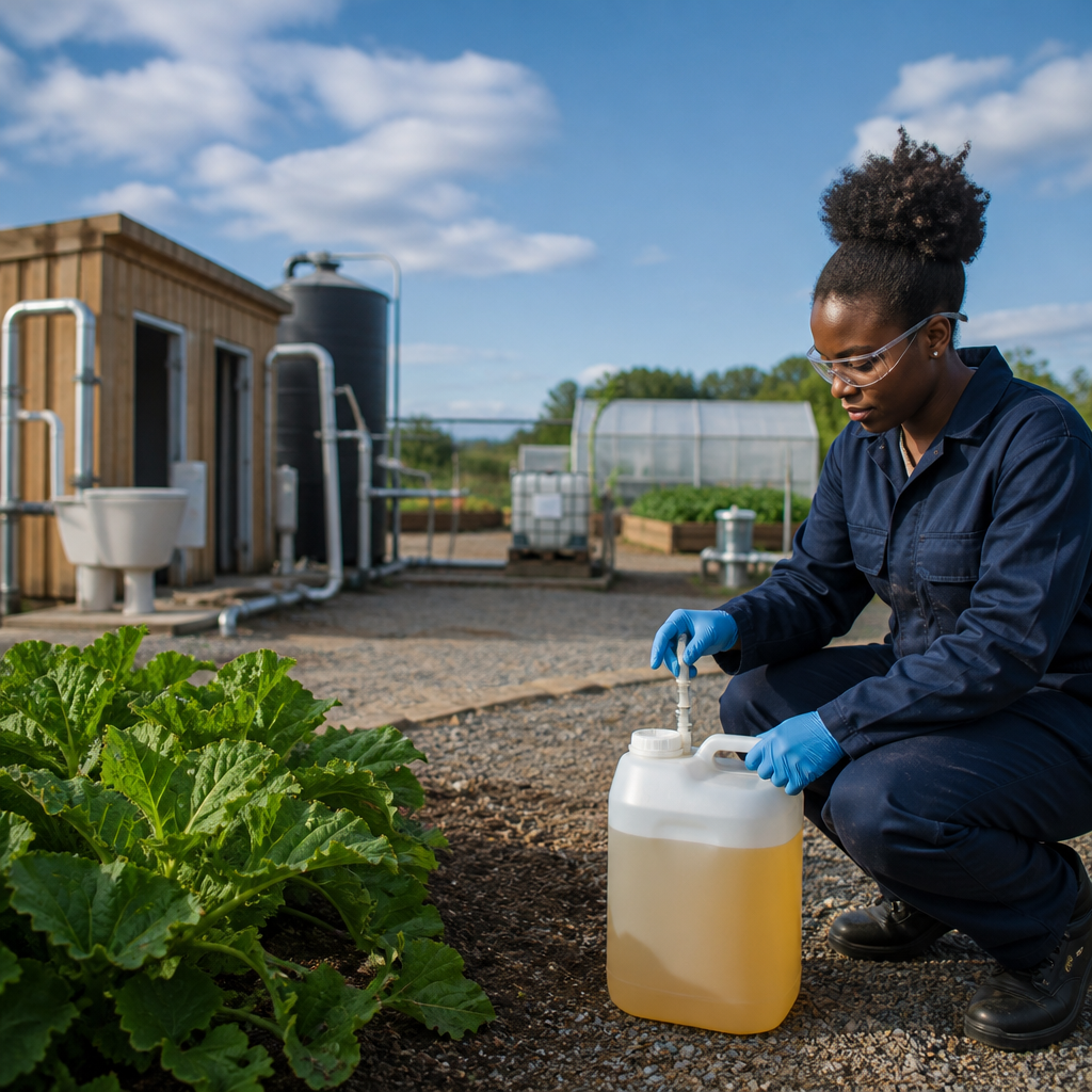
EcoSan is fundamentally about circularity, and remote sensing strengthens circular sanitation by linking treatment outputs to real environmental and agricultural demand. Nutrient recovery products such as struvite, sanitized urine, composted biosolids, and digestate should be applied where crops can use them safely and where runoff risk is controlled. Satellite-derived crop classification, vegetation indices, and irrigation maps help identify candidate areas. Watershed analysis then screens out sensitive zones near drinking water sources, steep slopes, or saturated soils. This makes reuse planning more credible to regulators and easier to explain to farmers.
Water reuse planning also benefits. Treated effluent can support forestry, landscaping, industrial cooling, or agriculture, but only if seasonal demand, conveyance distance, and salinity constraints are understood. Remote sensing helps estimate evapotranspiration, crop calendars, and land use change, allowing utilities to size storage and match supply with demand. In several projects, the practical obstacle was not treatment technology but market alignment. A biodigester may generate nutrient-rich effluent, yet the nearest suitable reuse zone may be too far away or flooded during key months. Spatial analysis exposes those mismatches early. That is why the most advanced EcoSan programs treat remote sensing not as a mapping exercise but as a market and risk intelligence tool.
Research, validation, and the limits practitioners must respect
As a research hub topic, cutting-edge EcoSan technologies deserve rigorous evaluation, and remote sensing makes comparative research far stronger. It supports baseline establishment, before-and-after analysis, longitudinal monitoring, and cross-city benchmarking. Researchers can compare treatment footprints, vegetation response, flood exposure, sludge drying rates, and settlement accessibility across multiple pilots using consistent methods. Machine learning models can classify sanitation-related land features, but those models must be trained with verified ground data. That point is critical: remote sensing is powerful precisely because it is not used in isolation.
There are real limitations. Spatial resolution may be too coarse to detect household-scale sanitation conditions. Cloud cover can reduce optical image availability. Spectral signatures may suggest contamination or moisture stress without proving cause. Privacy and consent issues arise when drones map densely populated settlements. Data processing requires technical capacity, and weak institutional coordination can prevent insights from influencing budgets or operations. The best practice is a tiered workflow: use remote sensing to screen and prioritize, field teams to verify, laboratories to confirm, and asset managers to act. Standards from the World Health Organization on safe wastewater and excreta use, along with ISO-aligned data management and documented QA/QC procedures, should guide interpretation. When organizations follow that discipline, remote sensing becomes an operational asset rather than a collection of attractive maps.
Remote sensing has become one of the most practical enablers of better sanitation management because it helps EcoSan systems fit real landscapes, real climate risks, and real reuse opportunities. It improves site selection, sharpens monitoring, supports resilience planning, and makes nutrient recovery strategies more defensible. Just as important, it helps sanitation teams move from reactive problem solving to anticipatory management. The central lesson is straightforward: ecological sanitation performs best when spatial intelligence is built into every decision from planning through operation. For organizations exploring cutting-edge EcoSan technologies, this hub should serve as the starting point for deeper work on decentralized treatment, reuse safety, sludge logistics, wetland optimization, biodigestion, and climate adaptation. Review your current sanitation data, identify where maps are outdated or incomplete, and integrate remote sensing into the next planning cycle. Better evidence leads to safer systems, stronger resource recovery, and more resilient sanitation services.
Frequently Asked Questions
What does remote sensing mean in sanitation management, and why is it so useful for EcoSan systems?
Remote sensing in sanitation management refers to gathering information about sanitation-related conditions without physically inspecting every location on the ground. Instead of relying only on scattered field visits, utilities, municipalities, NGOs, and planners can use satellites, drones, aircraft, fixed monitoring devices, and geospatial analytics to observe land use, drainage, soil moisture, water bodies, vegetation stress, settlement growth, infrastructure corridors, and heat patterns across large areas. For EcoSan systems, this is especially valuable because ecological sanitation depends on understanding how sanitation interacts with soils, crops, water resources, nutrient recovery, and local environmental conditions. Remote sensing helps transform isolated observations into a continuous spatial picture, making sanitation planning more informed and more precise.
Its usefulness comes from scale, speed, and consistency. Conventional inspections may show what is happening at a few sites on a specific day, but remote sensing can reveal broader patterns such as where unserved communities are expanding, where flooding may threaten sanitation assets, where waste reuse could be integrated with agriculture, or where moisture and surface conditions may indicate system failure risks. In EcoSan contexts, where the goal is not simply waste disposal but safe nutrient cycling and environmental protection, that kind of spatial intelligence is crucial. It allows decision-makers to place systems where they are most appropriate, monitor environmental impacts over time, and support maintenance strategies that reduce risk while improving long-term sustainability.
How can remote sensing improve planning and site selection for ecological sanitation projects?
Remote sensing strengthens sanitation planning by helping professionals evaluate multiple site conditions before construction begins. EcoSan projects are highly sensitive to local geography and environmental context, so selecting the right location matters enormously. Satellite imagery and aerial data can be used to assess elevation, slope, flood exposure, proximity to homes, roads, farms, and water bodies, as well as settlement density and patterns of land use. This allows planners to avoid locations that are too flood-prone, too close to vulnerable water sources, too inaccessible for maintenance, or poorly aligned with agricultural reuse opportunities. In practical terms, this reduces the chances of system underperformance, contamination, or early failure.
It also supports better matching between technology and place. For example, areas with seasonal waterlogging may require different sanitation designs than dry upland areas. Regions with intensive agriculture may be strong candidates for nutrient recovery approaches, while dense informal settlements may need compact, decentralized systems designed around limited space. Remote sensing can also reveal how communities are changing over time. Rapid urban expansion, peri-urban growth, and informal settlement formation can quickly outdate traditional maps and planning assumptions. With updated imagery and geospatial analysis, planners can anticipate future demand, identify underserved zones, and design EcoSan systems that remain viable as populations and land use evolve. The result is more resilient, cost-effective sanitation infrastructure that is grounded in real environmental and social conditions.
Can remote sensing help monitor sanitation performance and detect environmental risks?
Yes, remote sensing can play a major role in ongoing monitoring, particularly when sanitation managers need to understand area-wide performance rather than conditions at one or two facilities. While not every operational detail can be measured directly from a satellite or drone, remote sensing can identify indicators associated with sanitation stress and environmental risk. These may include standing water, flooding patterns, unusual vegetation response, soil moisture anomalies, land surface temperature changes, erosion, drainage blockage, and the proximity of sanitation systems to sensitive water resources. In EcoSan systems, where safe containment, treatment, and reuse are central goals, these indicators can signal where intervention is needed before minor issues become public health or environmental problems.
Monitoring also becomes more proactive. Instead of waiting for complaints or conducting infrequent inspections, authorities can use remote sensing to establish regular surveillance of high-risk zones. Drones may help inspect difficult-to-access sites, detect overflow conditions after storms, or document infrastructure damage. Satellite time-series data can show whether flooding around sanitation facilities is becoming more frequent, whether catchment changes are increasing contamination risk, or whether agricultural reuse areas are changing in ways that affect nutrient management. Combined with field sampling and local reporting, this creates a smarter monitoring system. It does not replace ground truthing, but it makes fieldwork more targeted and efficient by showing where problems are most likely to exist.
What kinds of data and technologies are typically used in remote sensing for sanitation management?
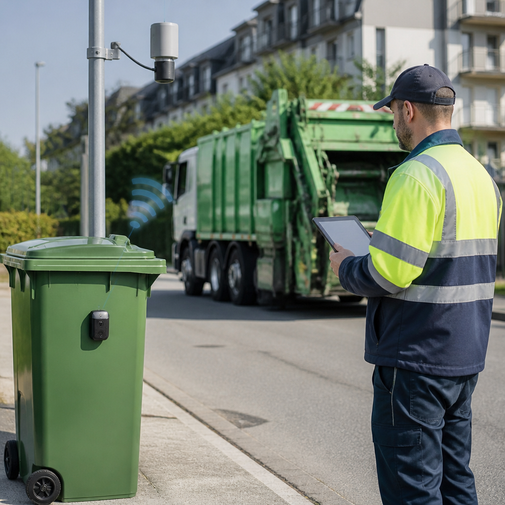
Remote sensing for sanitation management usually combines several data sources because no single technology answers every question. Satellite imagery is often used for broad regional analysis, including land cover mapping, urban growth detection, flood risk assessment, watershed evaluation, and surface moisture monitoring. Drones provide much higher spatial detail and are useful for neighborhood-level inspections, drainage mapping, facility siting, and post-event assessments after storms or infrastructure failures. Aircraft-based surveys can also be used where very detailed topographic or multispectral data are needed over larger areas. In addition, fixed sensors and Internet of Things devices may contribute continuous local measurements that can be integrated with spatial datasets.
The most effective systems pair imagery with geospatial analytics in a GIS environment. This can include digital elevation models, thermal data, multispectral and hyperspectral imagery, rainfall records, hydrological layers, infrastructure maps, census data, and field verification points. For EcoSan applications, these datasets can help answer practical questions such as where to locate urine diversion or composting systems, where nutrient reuse has the strongest agricultural potential, which areas are at highest risk of runoff or groundwater contamination, and how settlement patterns affect service delivery. Increasingly, machine learning is also being used to classify land use, identify informal settlements, map drainage networks, and flag anomalies that may indicate sanitation vulnerabilities. The real value lies in integration: when remote sensing data are linked with on-the-ground sanitation knowledge, they become a powerful decision-support tool.
What are the limitations of remote sensing in sanitation management, and how should organizations use it responsibly?
Remote sensing is extremely valuable, but it is not a complete substitute for fieldwork, community engagement, or public health expertise. One key limitation is that many sanitation conditions cannot be observed directly from above. For example, a satellite image cannot by itself confirm pathogen loads, internal system blockages, user behavior, or whether a toilet is being maintained correctly. Some environmental signals can also be ambiguous. Standing water may reflect a sanitation issue, stormwater accumulation, irrigation practices, or natural seasonal conditions. That is why remote sensing should be used as part of a broader evidence framework rather than treated as a standalone answer. Ground verification remains essential for interpreting patterns accurately and turning observations into sound operational decisions.
Responsible use also includes attention to privacy, equity, and local context. High-resolution imagery and drone operations can raise legitimate concerns if communities are not informed or if data are collected without clear safeguards. Organizations should follow local laws, establish transparent data governance practices, and ensure that spatial intelligence is used to improve services rather than stigmatize vulnerable populations. There are also technical and operational constraints such as cloud cover, data costs, limited technical capacity, uneven update frequency, and the need for skilled interpretation. The best approach is to combine remote sensing with participatory planning, field inspections, laboratory testing, and local knowledge. When used this way, remote sensing becomes a highly effective layer of intelligence that supports better sanitation outcomes while remaining scientifically credible and socially responsible.